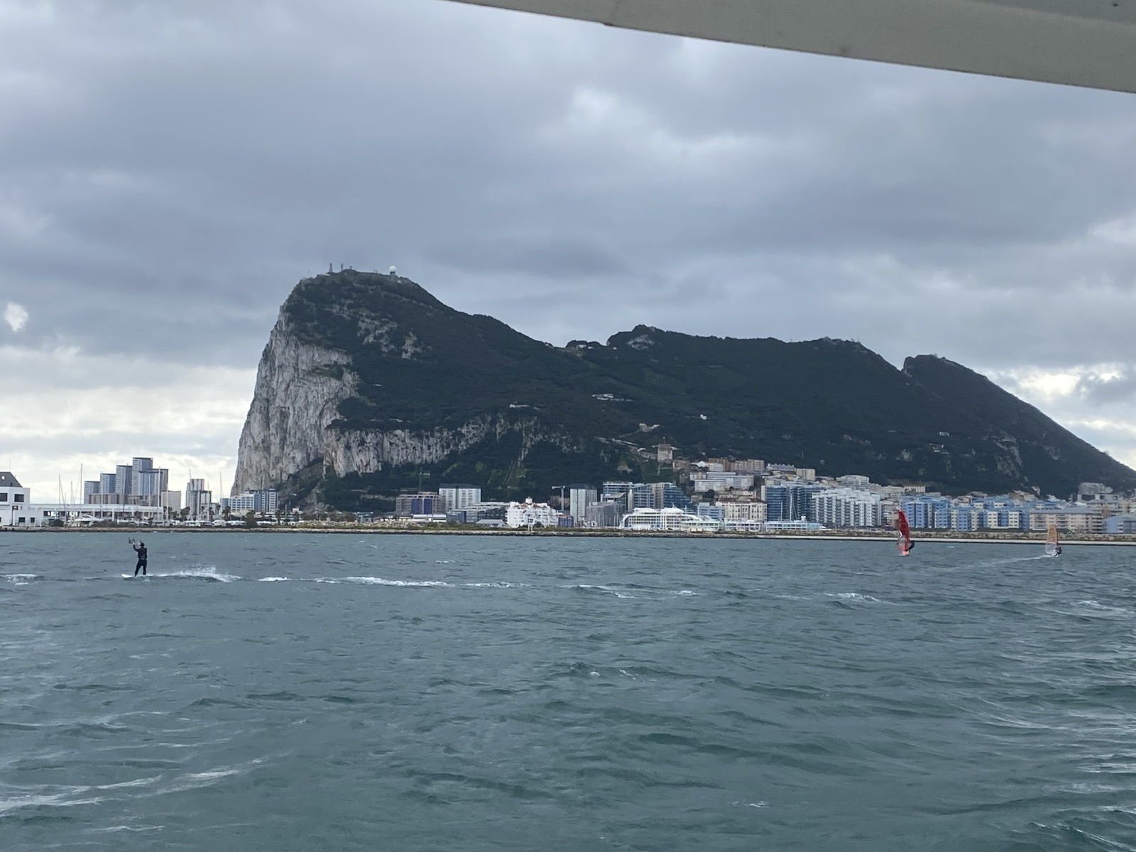
Rock of Gibraltar
Last year we somehow avoided hiking up to the top of the rock, but this time we resolved to do it! Hiking from the town to the summit is 1,400 feet, but it seems much higher since the surrounding country is fairly flat. Beyond just being a mountain, the Rock of Gibraltar has been used as fortified base to control the entrance to the Mediterranean. Since 1704, the British have managed the property (the Spanish are not especially happy with that) and through the end of WWII had expanded the system of tunnels that have been dug into the rock.
We had heard that there is a troop of Barbary Macaques (the only wild monkeys in Europe) that live on the rock and before starting the hike we bought some apples to feed them (we learned later you were not supposed to do that). The store only sold apples by the bag, so I ended up hefting a heavy bag of fruit in my backpack.
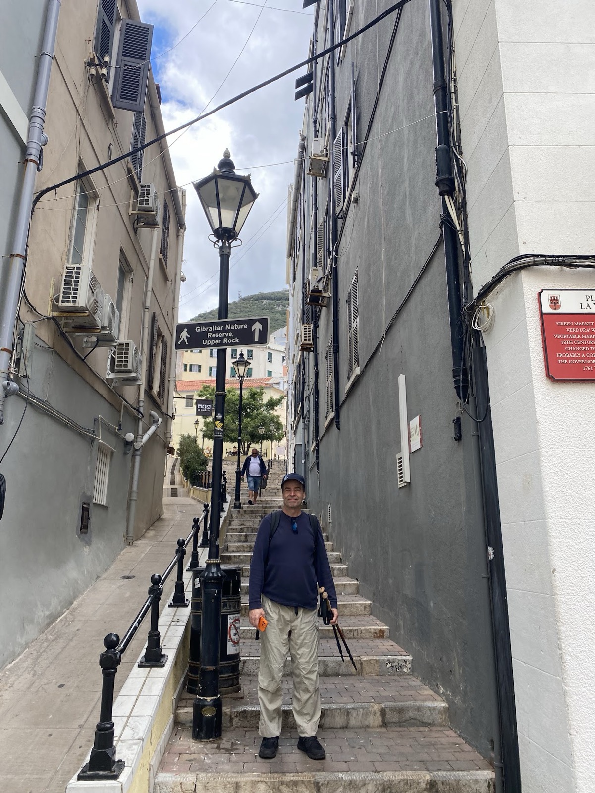
Start of the walk (hiking sticks were not really needed)
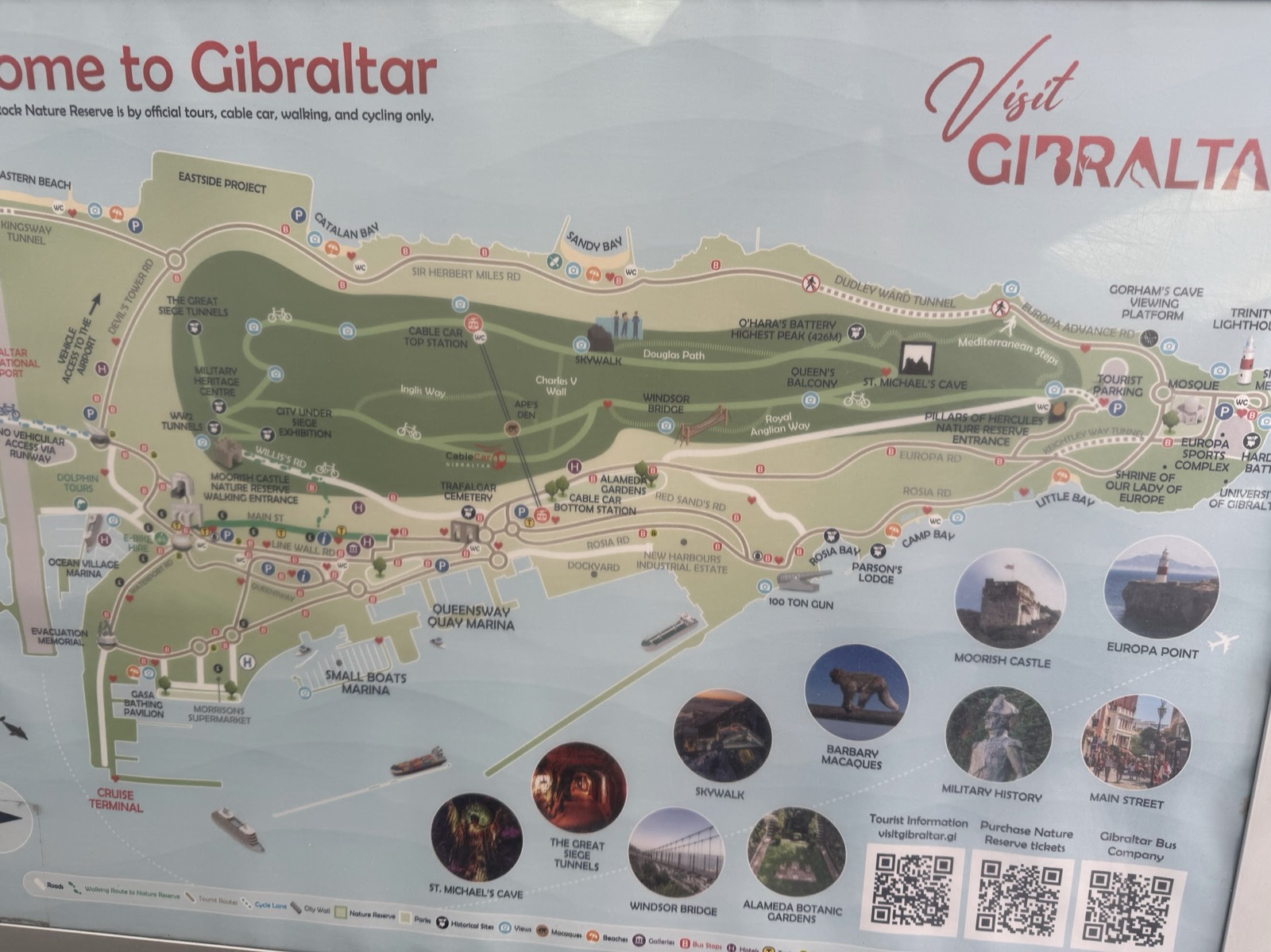
Map at park entrance
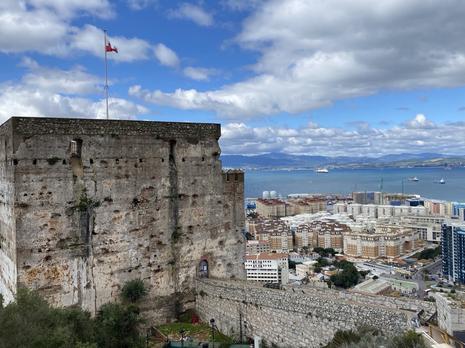
Slowly we rose above the downtown buildings
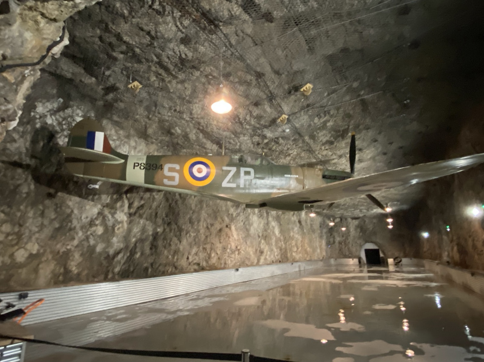
Touring the tunnels
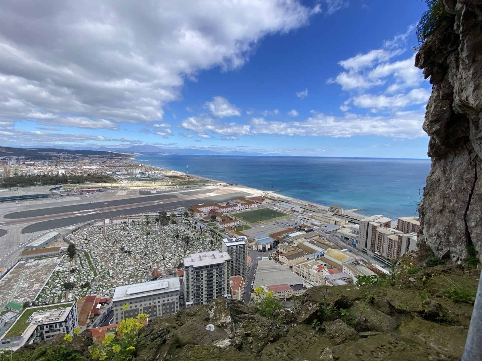
View from one of the tunnel portals
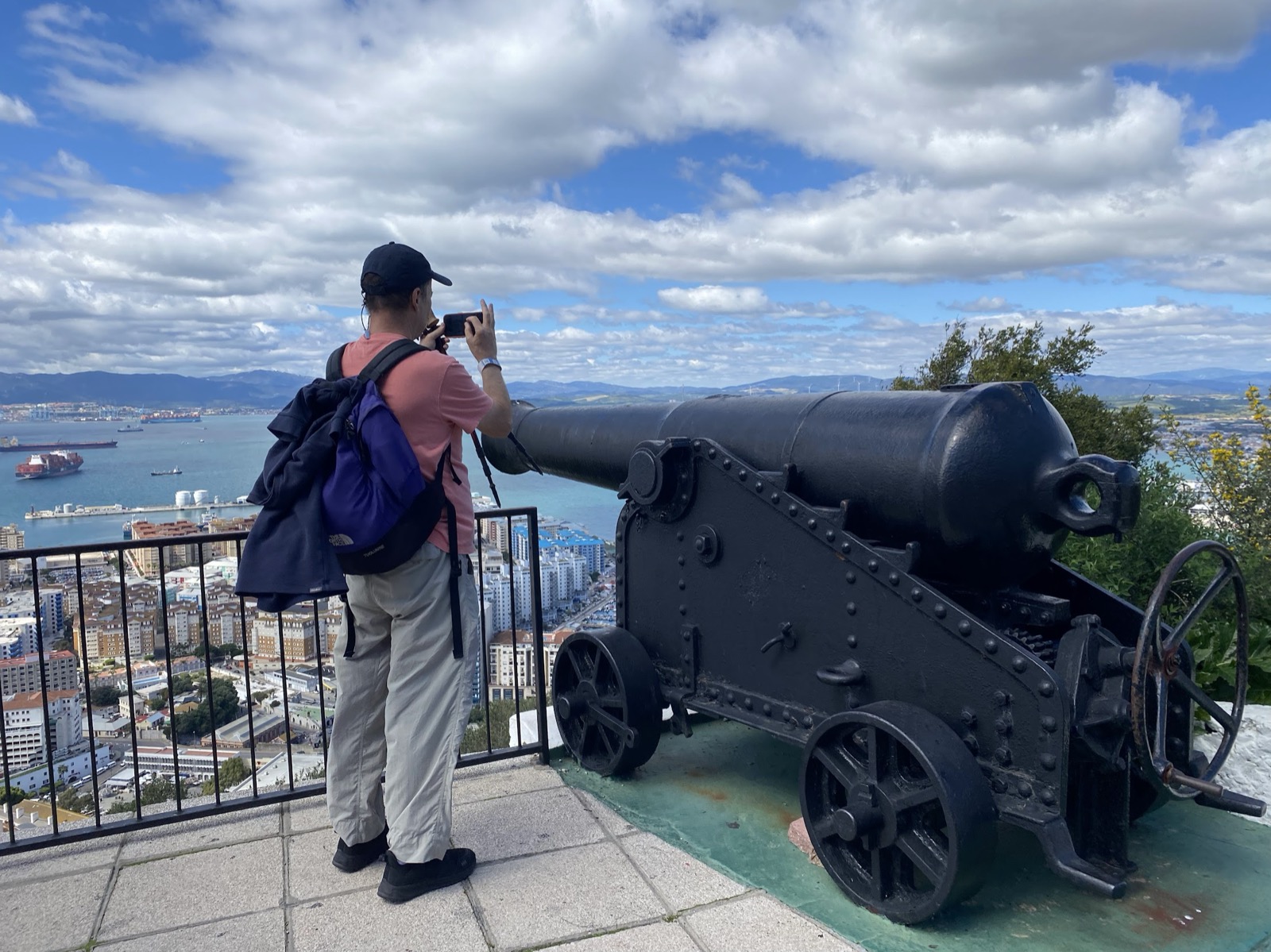
I imagine these guns did a good job of defending the harbour back in the day
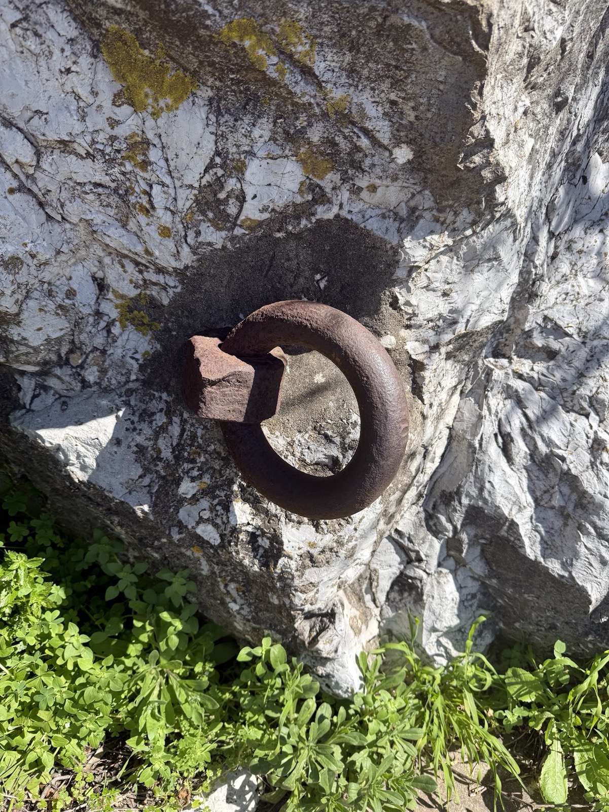
These iron rings were used for hauling cannons up the mountain
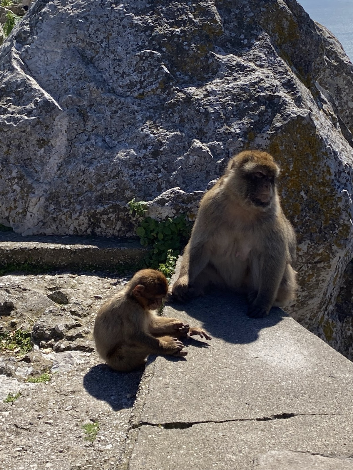
The monkeys mostly ignored us humans (unless they thought we had food!)
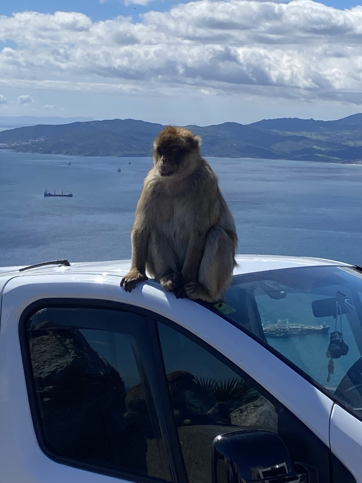
Or they might decide to sit on your car
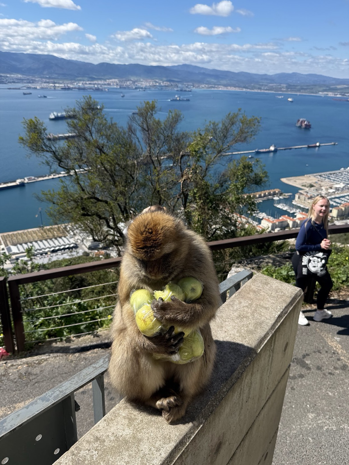
I felt a slight tug on my backpack and next thing this guy had unzipped my backpack and grabbed my bag of apples!
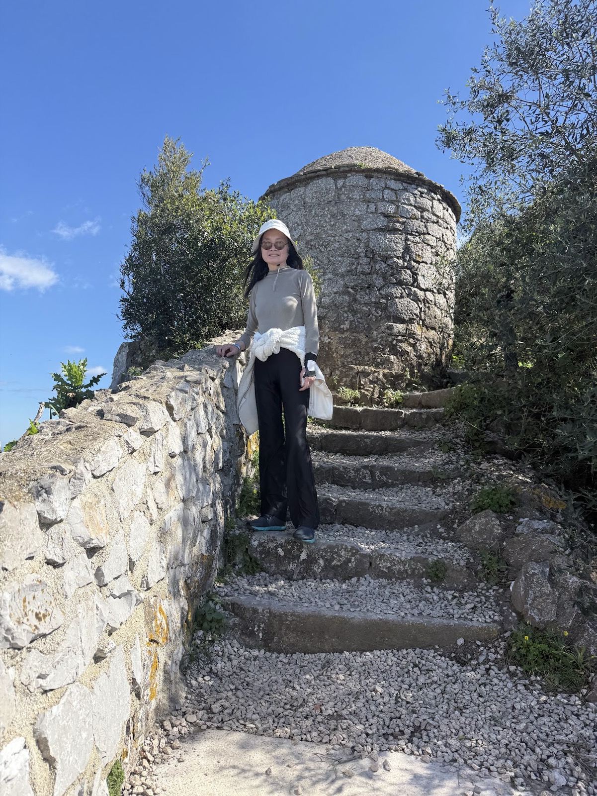
Lots of steps
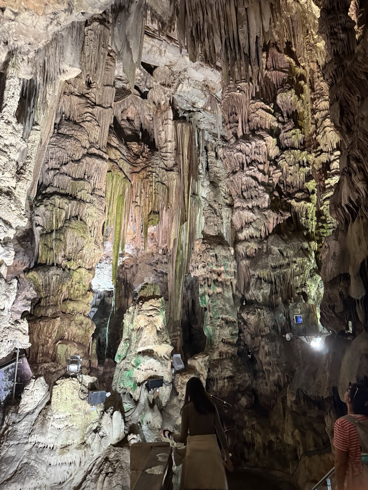
Mammoth cave
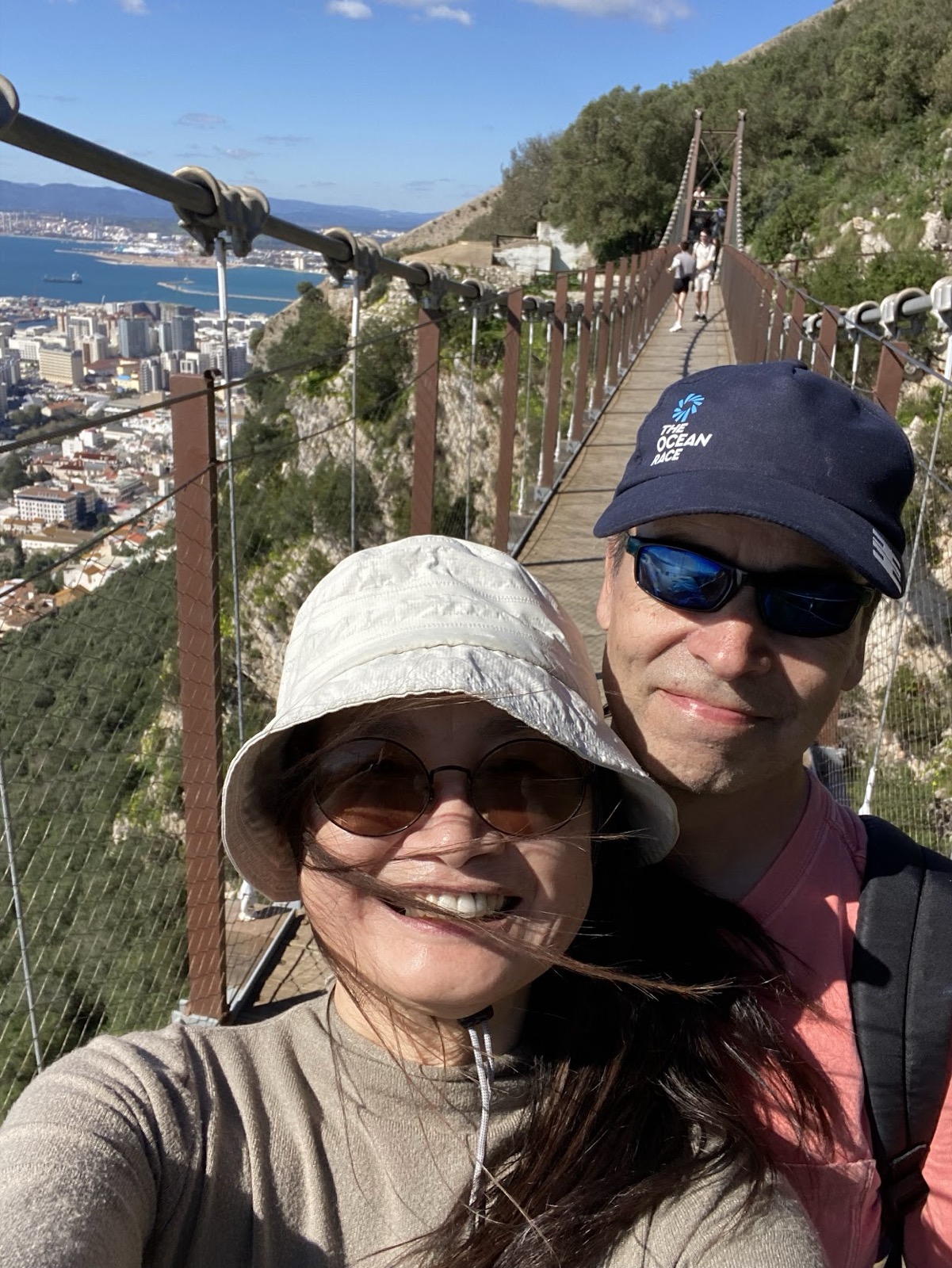
On the way down we crossed a suspension bridge
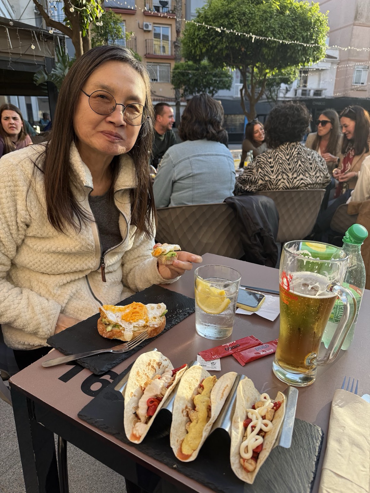
Back in the city - time for some refreshments!
Later we had another walk to the far south point of Gibraltar. We were hoping to visit the Neanderthal Caves, but it turned out that only a very few people each year are allowed to visit. The best we could do was this long range view from the road…
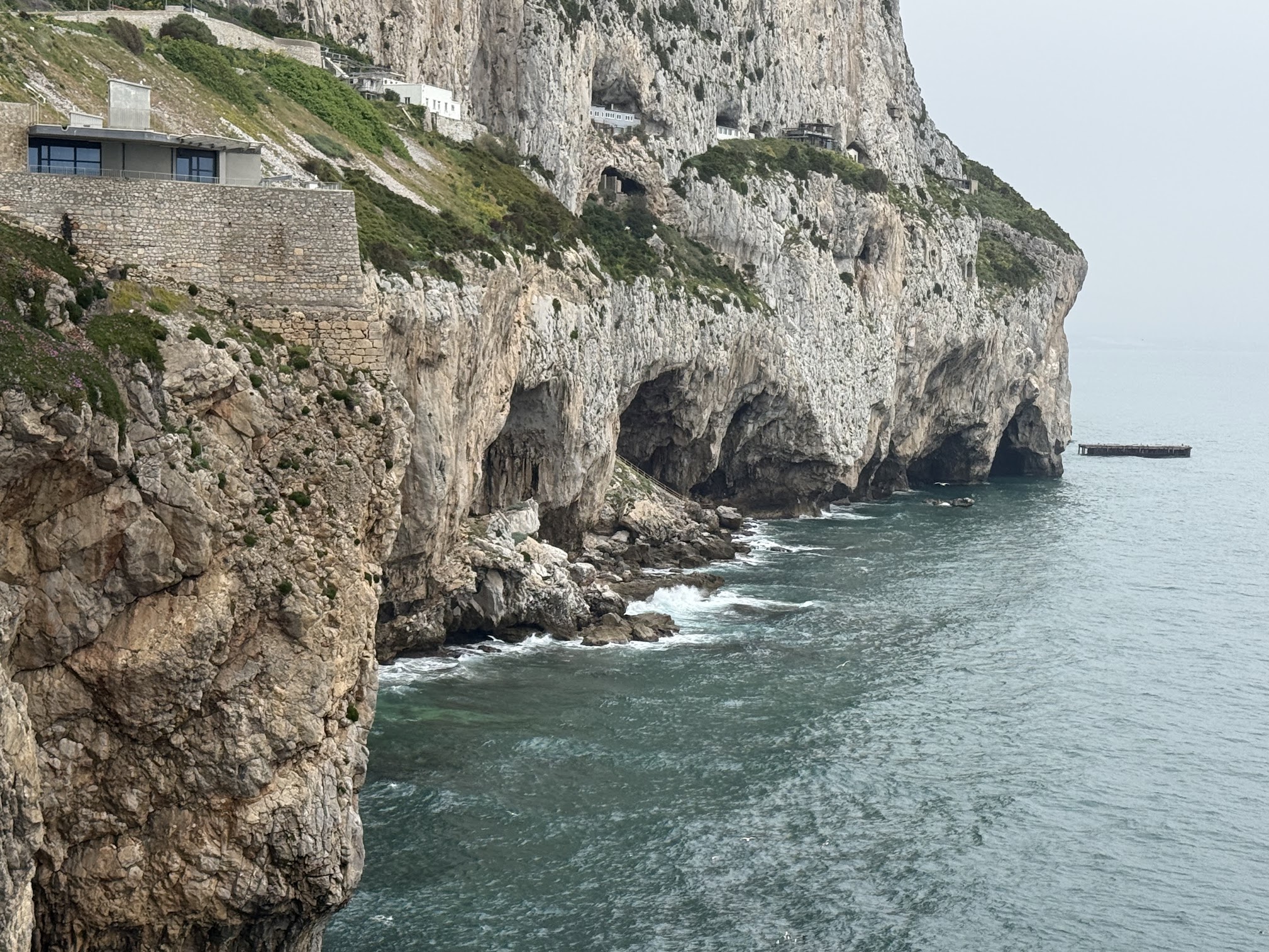
Neanderthal caves